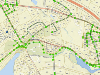
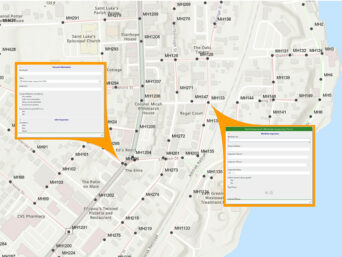
At Pare, we work with utilities on a daily basis. GIS-based utility mapping is critical for us and our clients to understand the systems involved. We migrate data from older systems to a complex but extremely powerful format from Esri called the Utility Network (UN). This feature set allows for advanced modeling and tracing functions direct on a mobile device. This mobility keeps your field crews safe with up-to-date information, and your system running through accurate isolations and quick shut-offs, without the need to call in or head back to the office for verification.
Our Team will set up the domains and architecture to develop an operational virtual twin, and can assist with developing the data to make sure it is up-to-date and accurate, using the most appropriate approach for your data needs.
REPRESENTATIVE SERVICES: